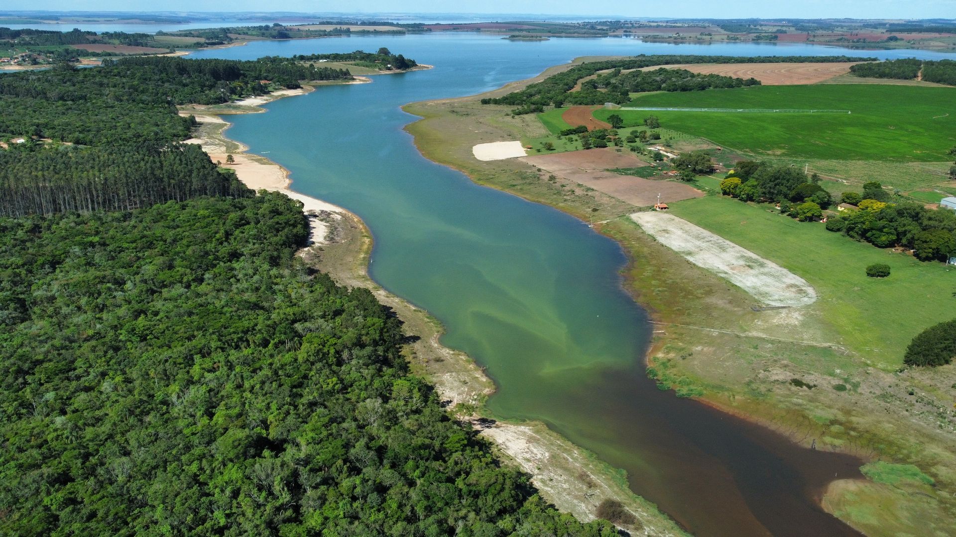
About the region

The Upper Paranapanema Basin is a key agricultural centre and one of Brazil's biodiversity hotspots.  Farmers are under pressure from a range of drivers, including a changing climate, tougher regulatory compliance regimes and increasing competition for land and water resources.

Paranapanema River, Ribeirão Bonito, Tejupá, SP

At a glance

22,547

km2 total area

source

16

Sub-catchments

source

34

core municipalities

764 k

Population

22%

contribution of agriculture to the basin's GDP

source

12%

contribution of agriculture to the  state of São Paulo's GDP

source

108,205 ha

area irrigated by centre pivots

source

5.6%

of total area irrigated by centre pivots in Brazil

source

32

of the 34 municipalities in the Basin have a lower IDPM (São Paulo State Municipal Development Index) than the average

source

25%

native vegetation cover in the Basin

source